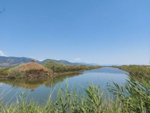
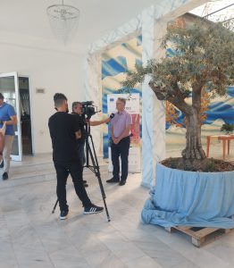
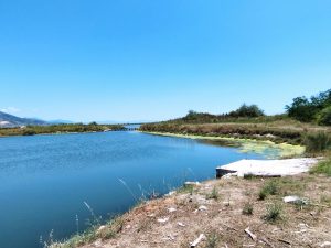
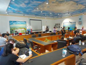
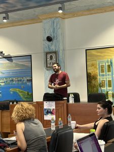
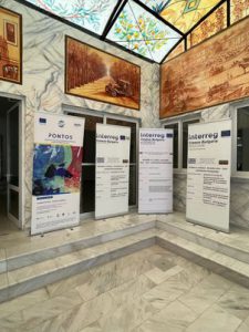
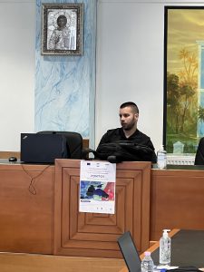
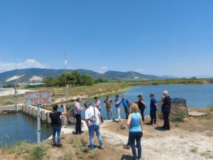
The Centre for Research and Technology Hellas and Democritus University of Thrace, with the support of the Geotechnical Chamber of Greece (Eastern Macedonia branch) and the Municipality of Nestos, held the Second set of Training Session on Earth Observation and Environmental Monitoring for Young Scientists and Practitioners in the pilot site area from 15th-17th June. About 20 young scientists and practitioners from both the private and the public sector, successfully participated in the 3-day training long sessions on the topic of “Special Remote Sensing Applications in the Plain and Lagoons of the Municipality of Nestos”. The 2nd training session comprised 2 days of intensive hands-on training on the various possible uses of remote sensing in the fields of environmental monitoring and precision agriculture. Also, two field visits were organised on the third day where participants had the opportunity to gain an insight into real-life conditions.
- Invitation and Agenda
- Presentations
- Structure and Objectives of the Training Program of the PONTOS project in the pilot area of Nestos
- Satellite imagery and its applications: retrieving satellite imagery from the Copernicus repository
- Application of satellite imagery analysis in precision irrigation in the Nestos plain
- Application of satellite image analysis in the coastal erosion of the coastline of the Municipality of Nestos
- Application of satellite image analysis in the monitoring of the lagoons of the Nestos river
- Tutorial on ‘Hydroperiod estimation for wetland areas using spaceborne time series imageries
- Photo Gallery
