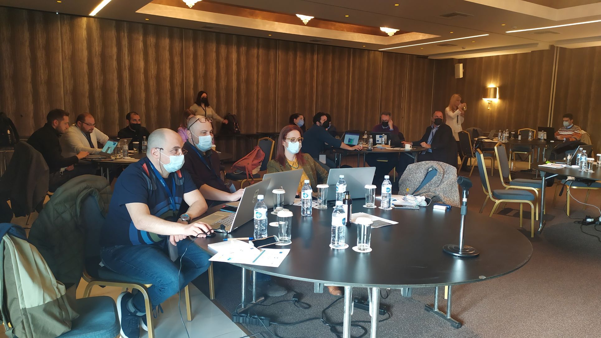
Within the framework of the EU-funded “Copernicus Assisted Environmental Monitoring Across the Black Sea Basin – PONTOS” project, the Training of Trainers(ToT) was held in Greece on March 10, 2022, the first offline training of the team (after the Covid outbreak intervened the normal processes).
Overall, twenty participants, including project research staff, from PONTOS project partner institutions, participated in the training organized by the Center for Research and Technology Hellas (CERTH) and Democritus University of Thrace (DUTH).
The training was composed of two parts: introduction to the PONTOS Platform and Presentations on the pilot areas’ assessments.
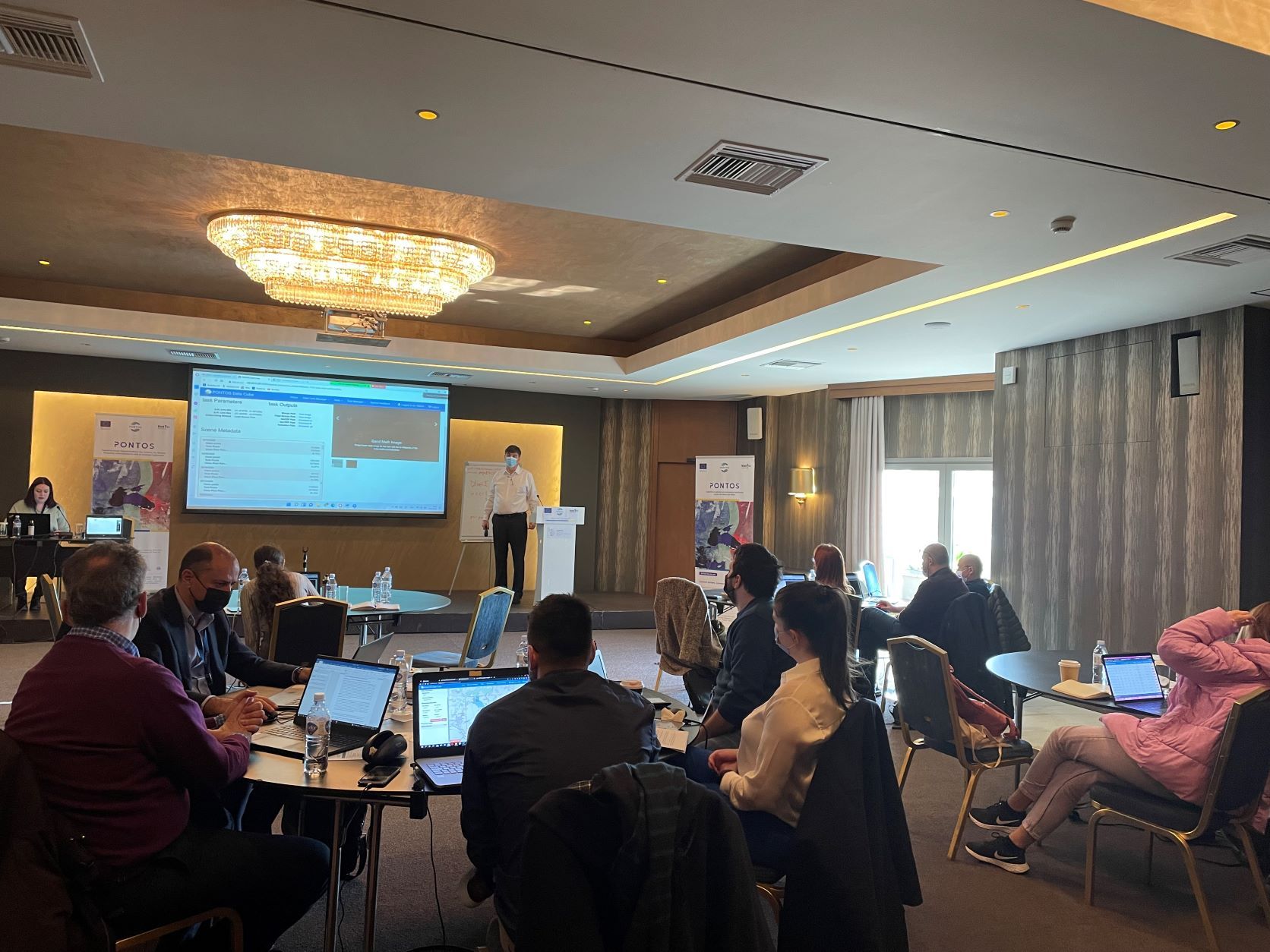
During the first part of the training, the Greek team conducted training on the PONTOS platform for the project researchers of partner institutions. The PONTOS platform integrates the following services: PONTOS Data Cube, PONTOS Web application, and PONTOS WebGIS.
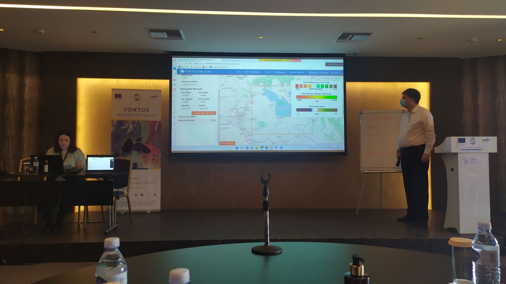
Ms. Maria Banti, MSc, Research Assistant at Centre for Research and Technology Hellas (CERTH), delivered a workshop on PONTOS Data Cube. As Ms. Banti mentioned, “the training material aims to facilitate the training of trainers on PONTOS Data Cube. It is an essential part of the PONTOS platform that targets easing the production of maps from Earth Observation (EO) satellite data and supporting how environmental monitoring in the Black Sea Basin area is accomplished.”
PONTOS Data Cube enables users to explore, analyze, manage quickly, and visualize satellite images for each pilot area in Ukraine, Armenia, Georgia, and Greece. The Data Cube decreases the time and specialized knowledge required to access, explore, and process satellite data through various analytical tools, a considerable volume of EO ARD satellite data, and in-built computational infrastructure.
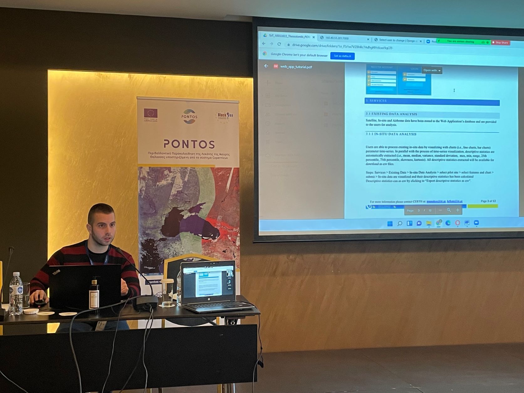
A presentation was followed by Eleftherios Katsikis, MSc, Research Assistant at CERTH/ITI, who elaborated on the PONTOS Web application. The web application enables users to analyze existing data that have been collected and stored in the database or upload and analyze their data. In his introduction, Mr. Katsikis mentioned that the web application would complement PONTOS Data Cube and the webGIS, offering functionalities aimed explicitly at exploiting Satellite, Airborne, and In-situ data.
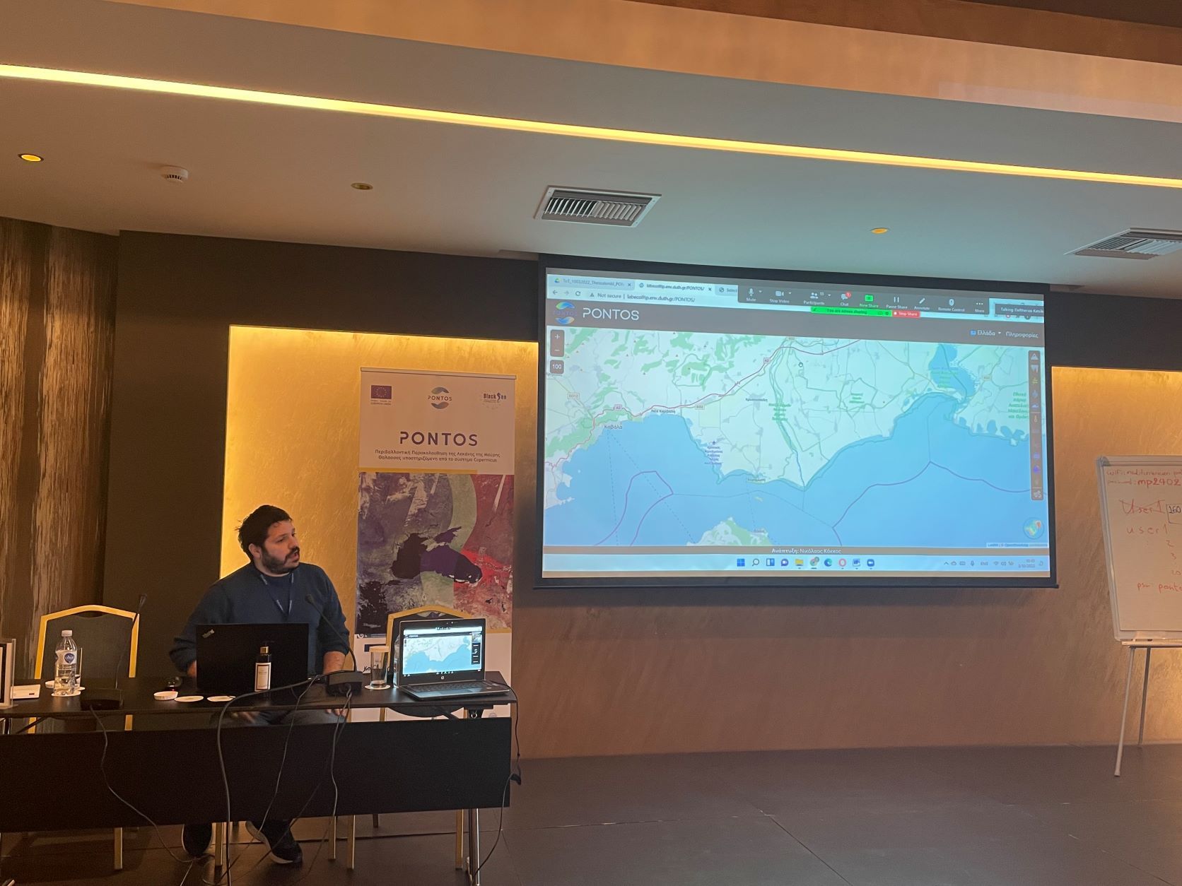
Dr. Nikolaos Kokkos presented the PONTOS WebGIS service from Democritus University of Thrace (DUTH), Greece. The PONTOS WebGIS is a website for interactive visualization of the spatial data collected in the Project and organized in a common spatial infrastructure. The system consists of two components: a map server that pushes the user’s queries to external Data Servers and a Web Server that hosts the PONTOS’s WebGIS website and handles Python Server scripts. Dr. Kokkos mentioned that one of the system’s main advantages is a platform for all pilot areas, fully compatible with mobile devices.
After the PONTOS platform training, the team conducted sessions dedicated to the theoretical and hands-on experiences of the pilot site assessments within the Project in Ukraine, Greece, Georgia, and Armenia.
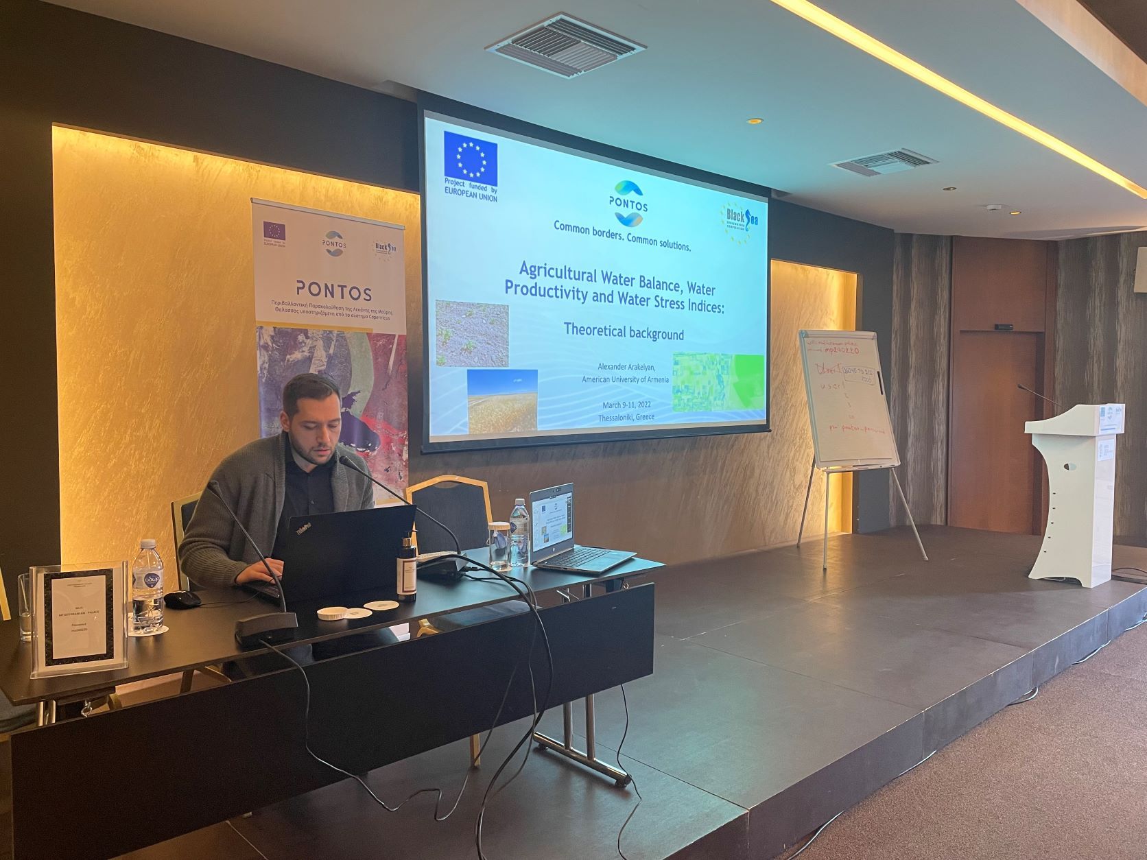
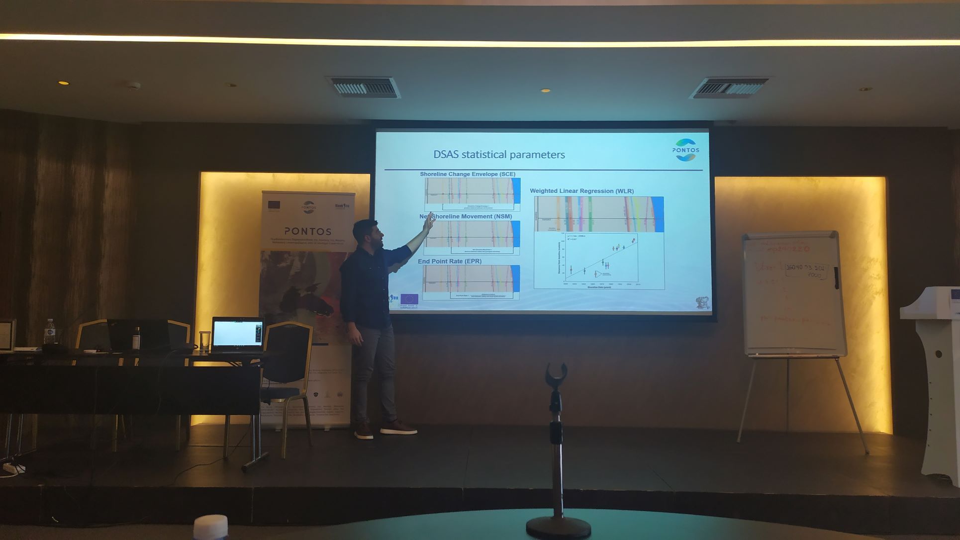
The training sessions were complemented by presentations on assessment on the dynamics of coastline changes, the assessment on forest cover changes and their consequences on the environment, on the assessment on changes in wetland and floating vegetation cover, on the impacts of eutrophication (such as reduced biodiversity, toxic cyanobacterial blooms, increased undesirable emissions (CH4, H2S)), and the loss of ecosystem services, on the chlorophyll calculation through satellite images, on the agricultural water balance, water productivity and water stress indices. Each training session was followed by a presentation of the used cases of the assessment.
The offline training of trainers was very beneficial to boost the cooperation, to share information and feedback on the project progress, networking of specialists towards the successful implementation of the PONTOS objectives.
The agenda and resources of the Training of Trainers is available here.
Copernicus assisted environmental monitoring across the Black Sea Basin-PONTOS is a 30-month project funded by the European Union’s ENI CBC Black Sea Basin Programme 2014-2020. The PONTOS makes information about the Black Sea environment from the EU Copernicus Earth Observation platform accessible to scientists, policymakers, citizens, and other relevant stakeholders. It utilizes information technologies to automatically retrieve Copernicus products, couples them with national or regional infrastructures for data acquisition and processing, and provides monitoring services for the Black Sea and the surrounding environment in a transboundary, standardized, and homogenized manner. The environmental monitoring system developed is tested in pilot sites across Armenia, Greece, Georgia, and Ukraine.
Photo Gallery